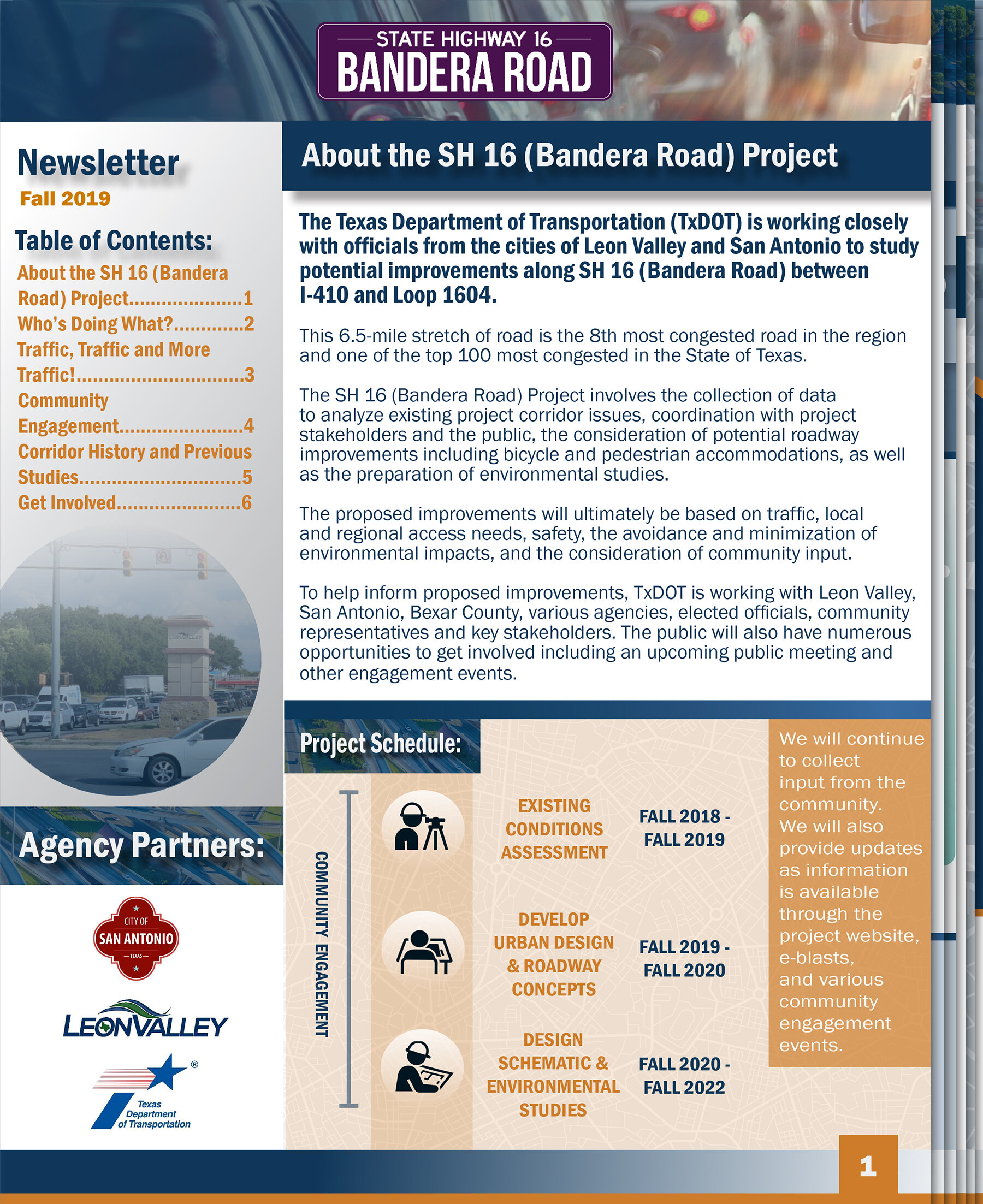
1. WELCOME
Public Meeting
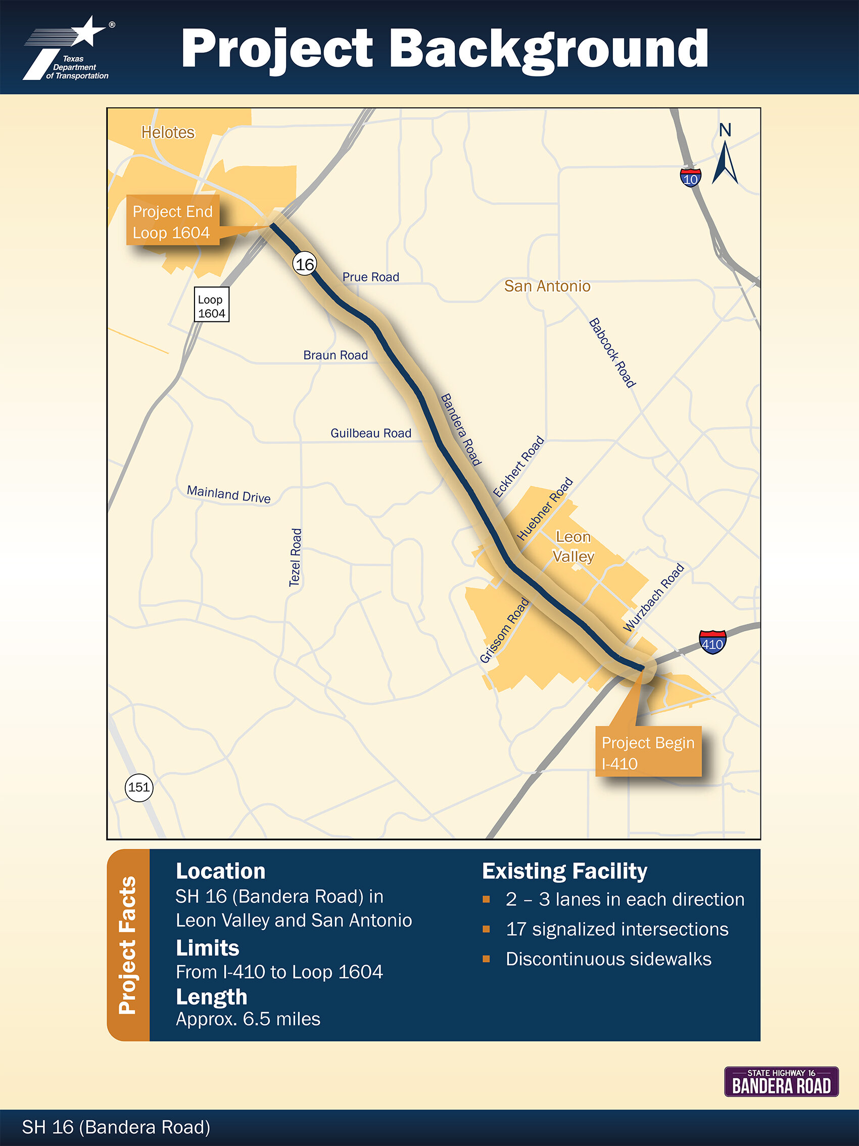
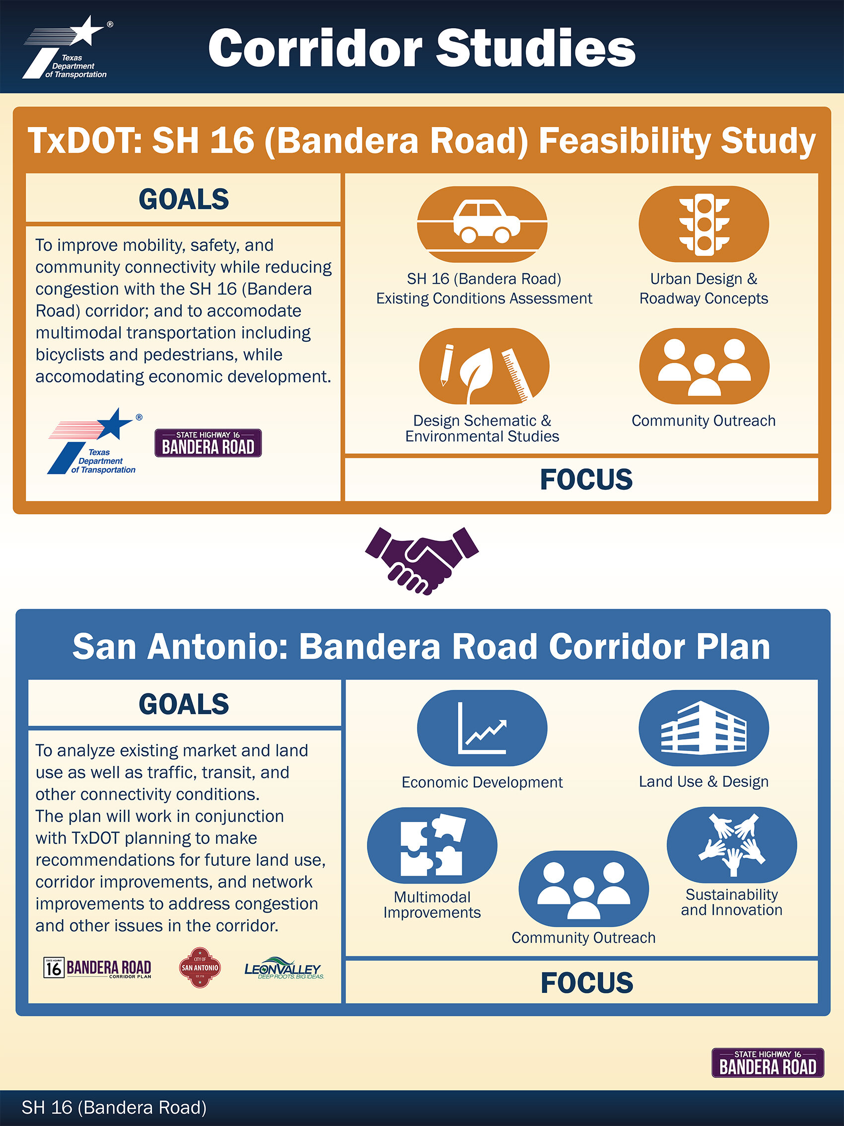
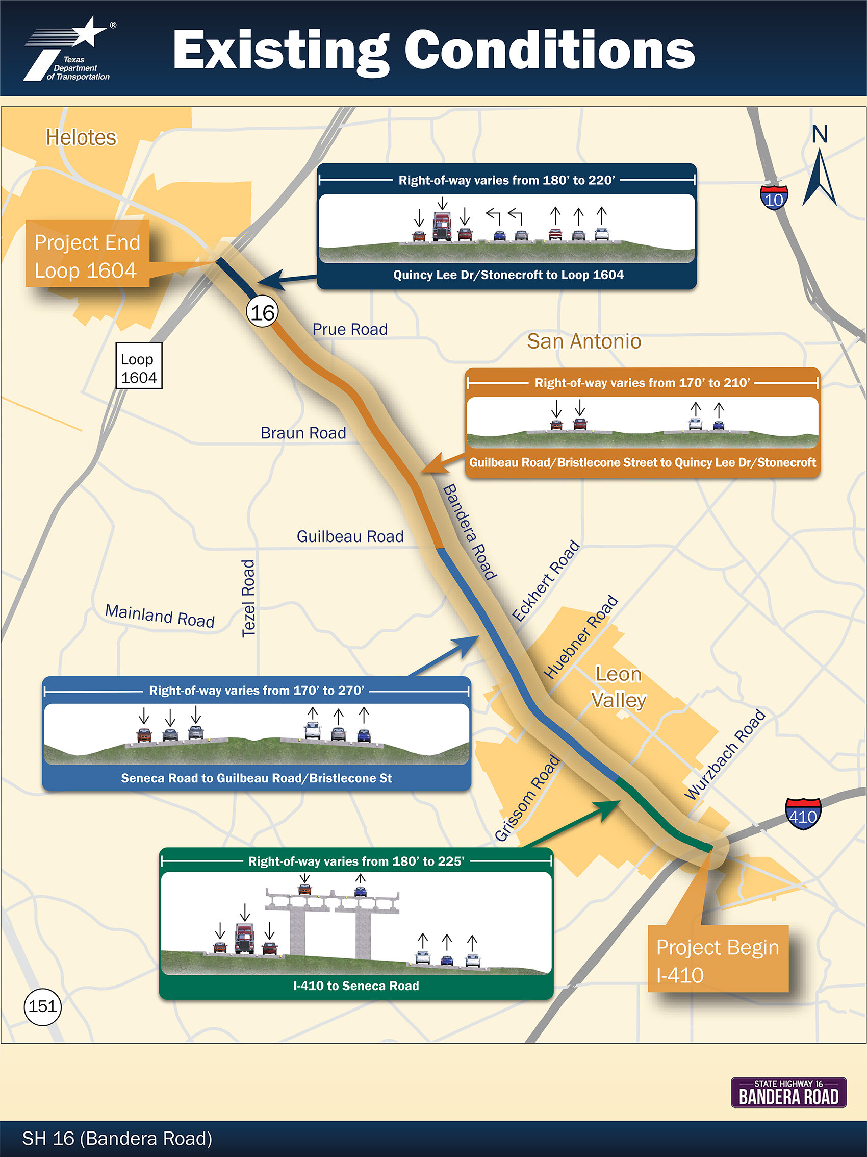
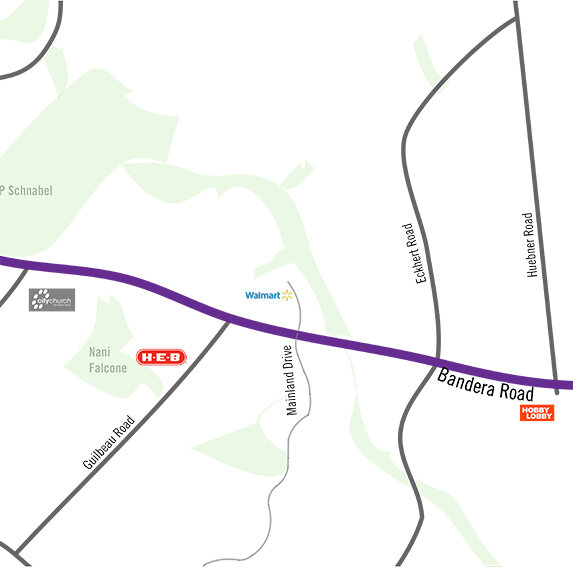
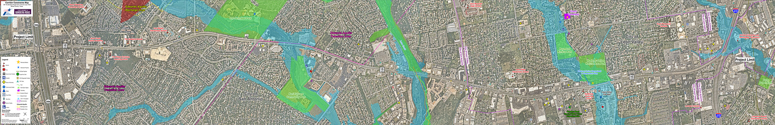
The Texas Department of Transportation (TxDOT), along with the cities of Leon Valley and San Antonio, invite you to join the discussion of how to improve congestion and mobility on SH 16 (Bandera Road) from I-410 to Loop 1604. Public meetings are being held on the following days:
Tuesday, December 10, 2019 (5 – 7 p.m.)
Brandeis High School Cafeteria and Auditorium
13011 Kyle Seale Parkway
San Antonio, Texas 78249
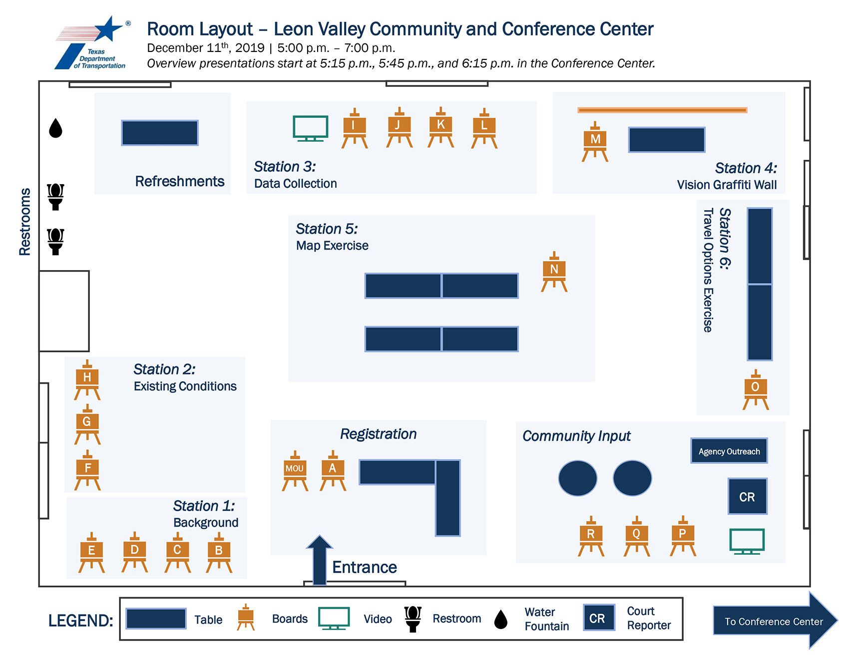
Wednesday, December 11, 2019 (5 – 7 p.m.)
Leon Valley Community and Conference Center
6421/6427 Evers Road
Leon Valley, Texas 78238
An online version of these public meetings has been provided for those who could not attend the meeting, or for those who want to review the materials and information provided at the meeting. The online public meeting will be available from December 10, 2019 through December 31, 2019.
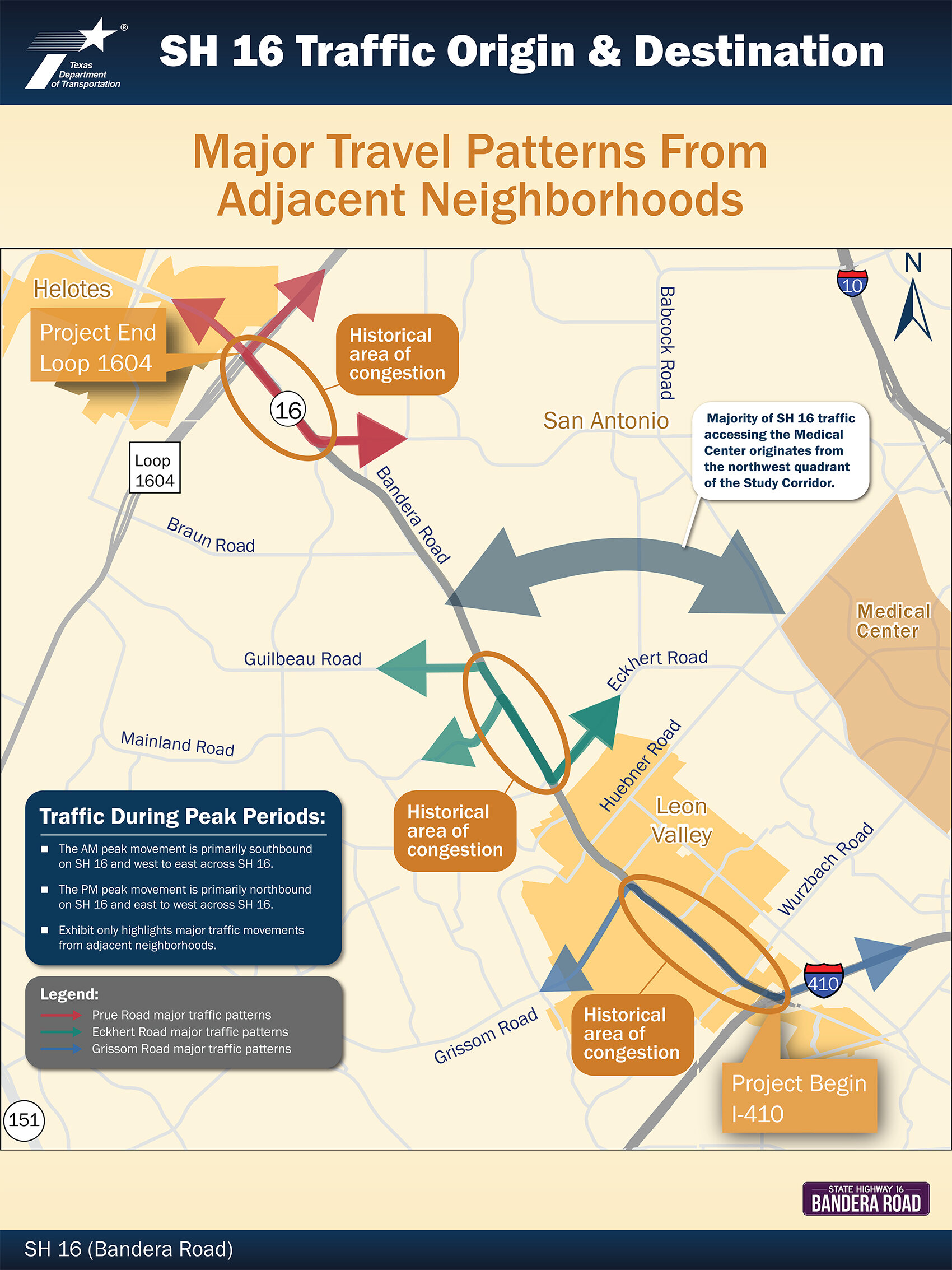
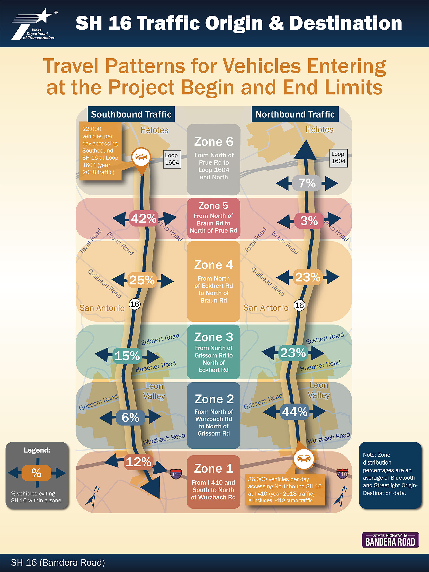
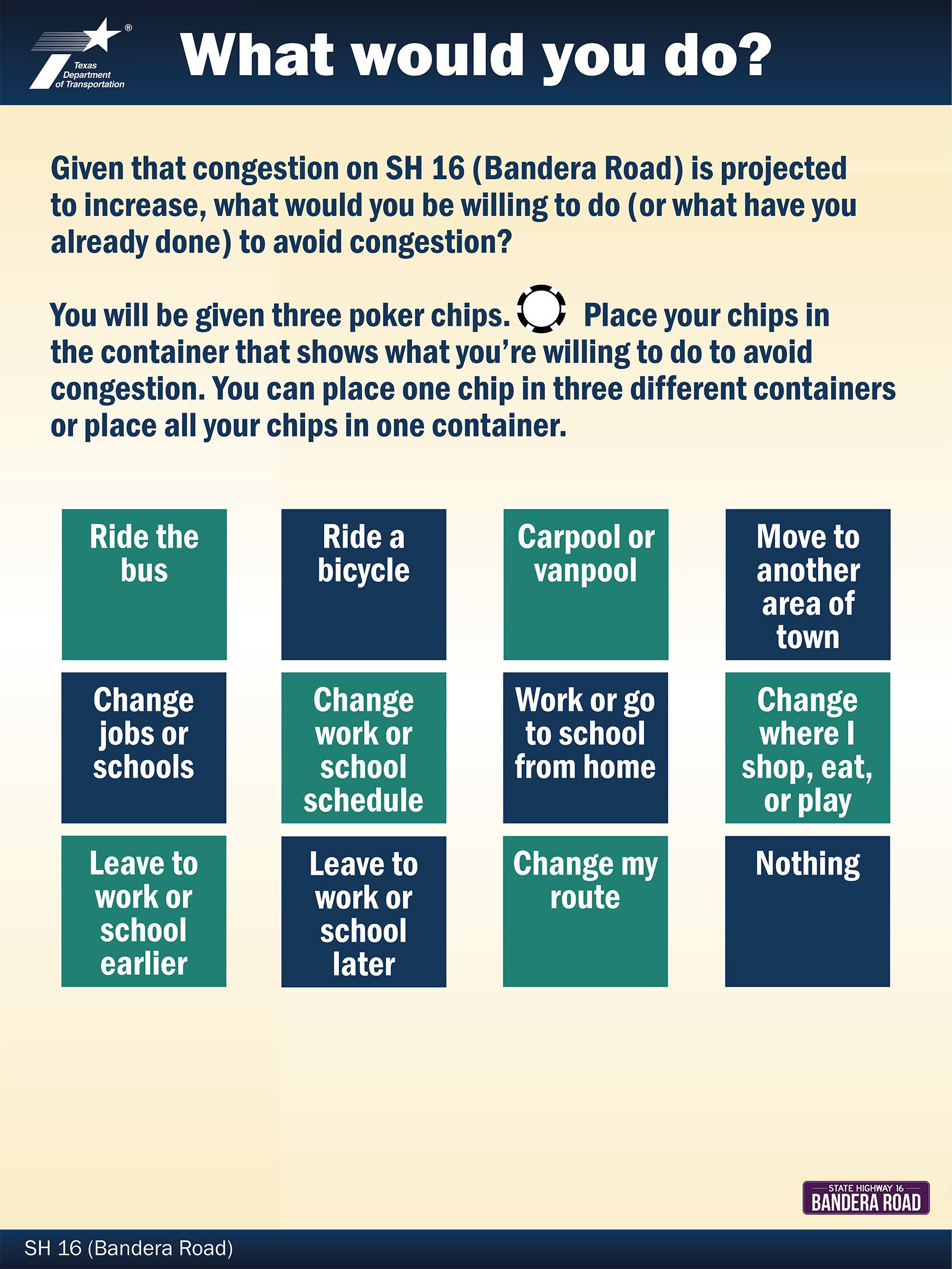
The purpose of the meetings is to share data and information related to traffic, mobility, and safety issues along SH 16 (Bandera Road). Additionally, the City of San Antonio’s Bandera Road Corridor Plan will present information regarding land use. The focus of the public meetings is on obtaining the community’s thoughts and feedback regarding existing land use and transportation issues of SH 16 (Bandera Road), as identified through new data, as well as local priorities for future improvements. No proposed concepts will be shown.
What to do next?
Please review the public meeting materials and information provided. The online public meeting has been broken into the following sections.
Welcome — Includes a brief overview of the public meeting and an opportunity to register your participation.
Watch — A video of the public meeting presentation is provided for your viewing.
Review — All public meeting materials (handouts, exhibits, maps, etc.) are provided here. Click on the image to see a larger version and to download the materials.
Comment — After watching the public meeting, please provide your feedback and comments. We want to hear from you!
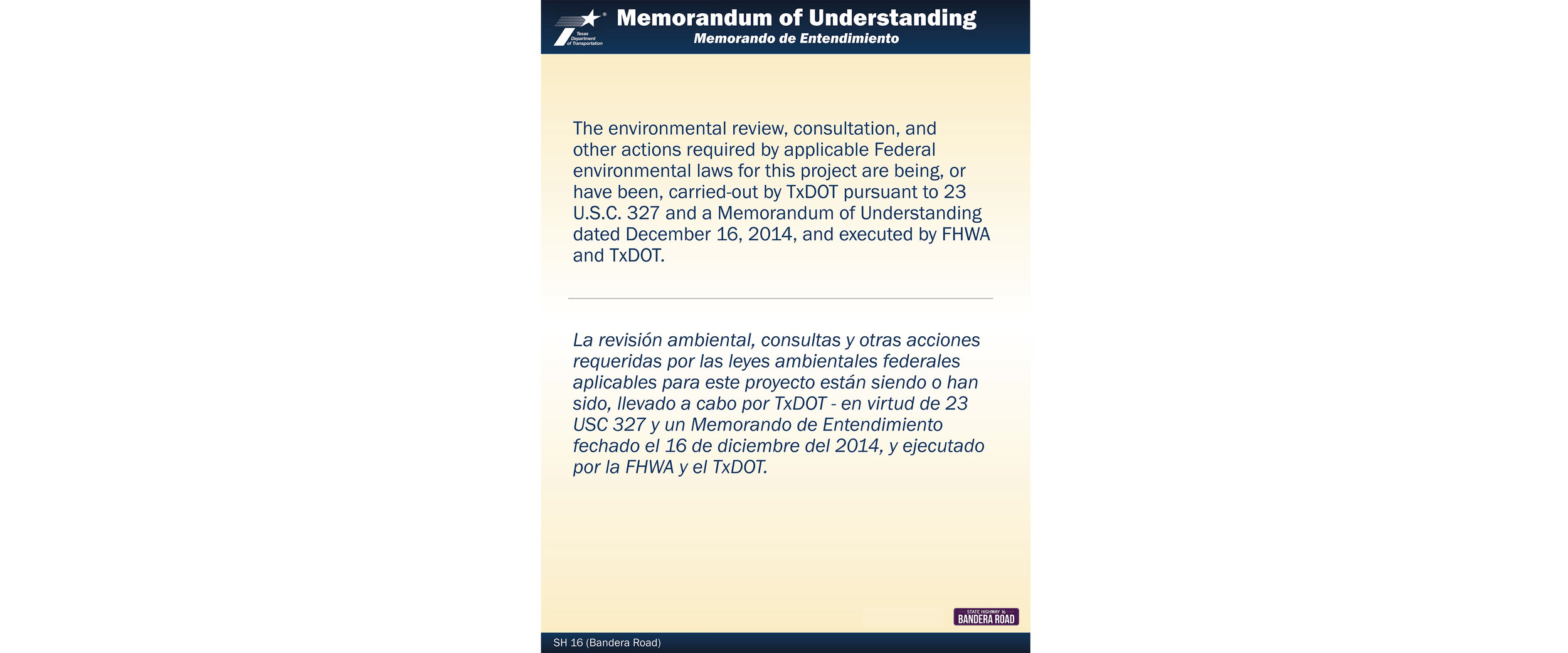
The environmental review, consultation, and other actions required by applicable Federal environmental laws for this project are being, or have been, carried-out by TxDOT pursuant to 23 U.S.C. 327 and a Memorandum of Understanding dated December 16, 2014, and executed by FHWA and TxDOT.